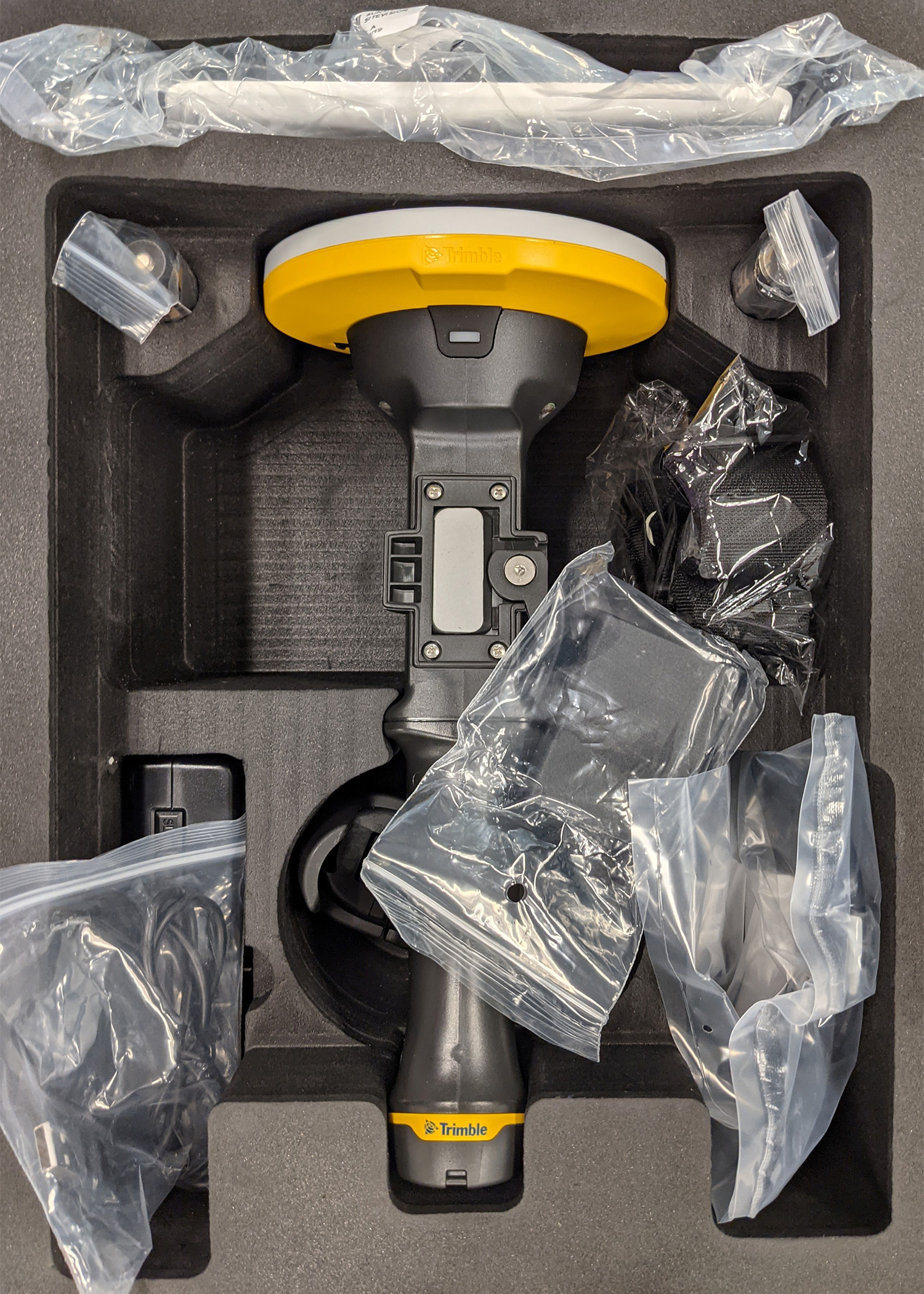
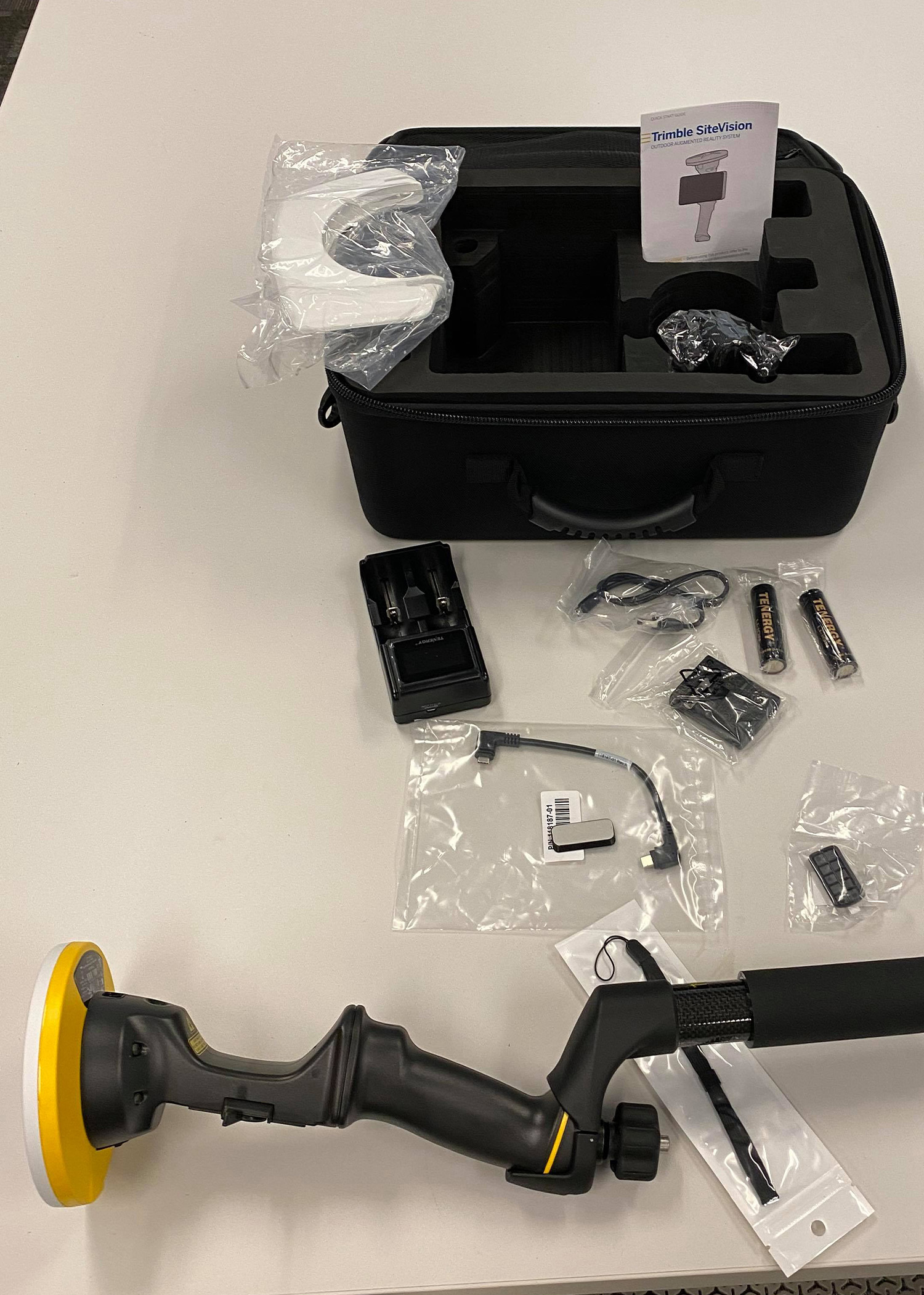
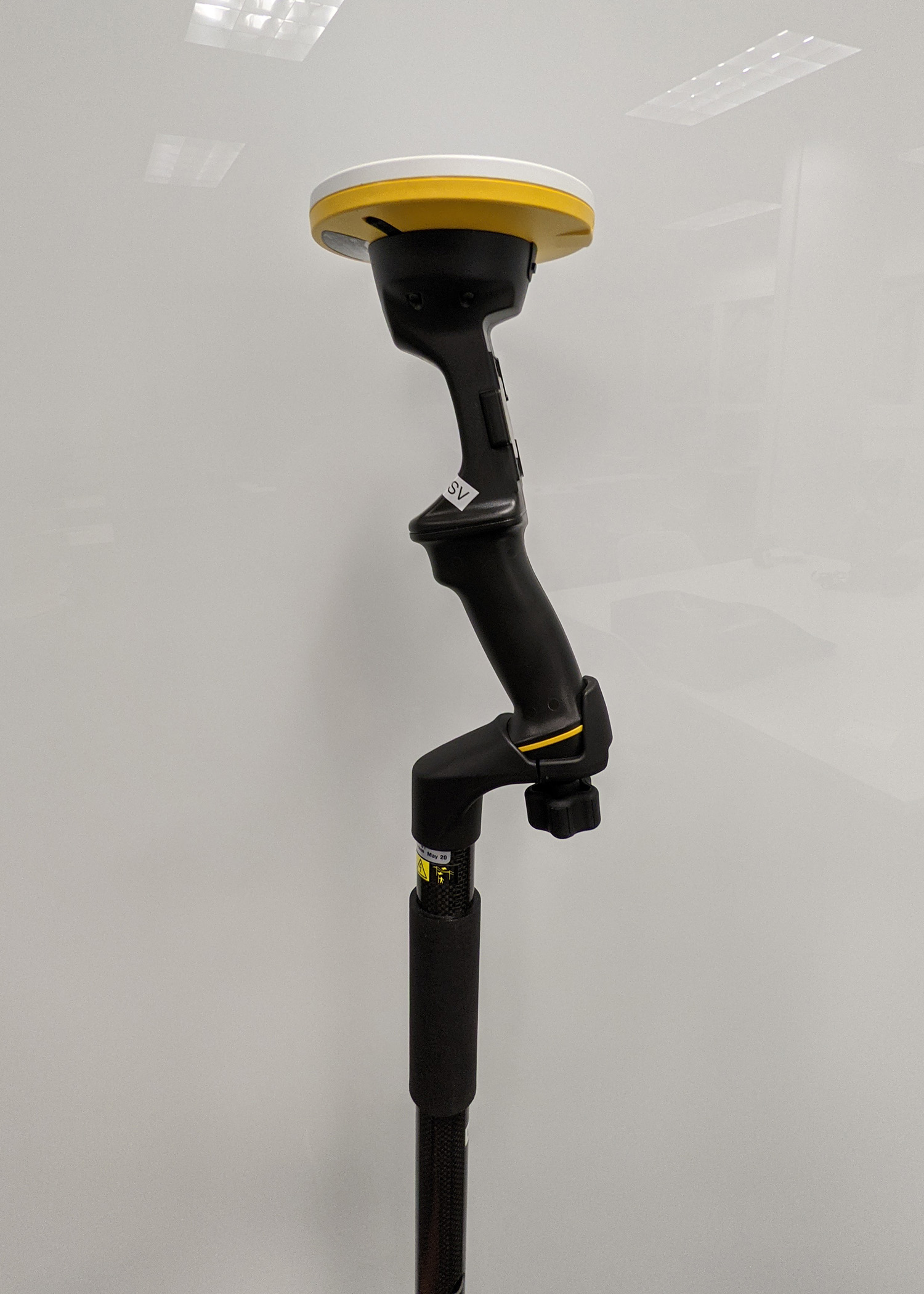
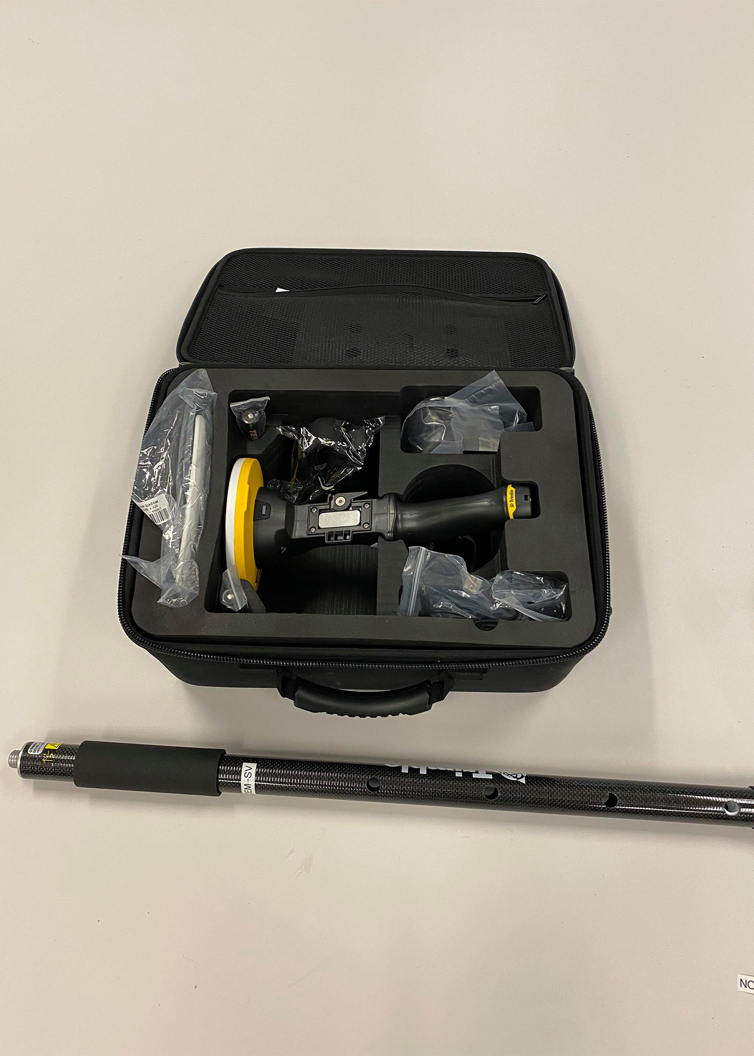
SiteVision
Overview
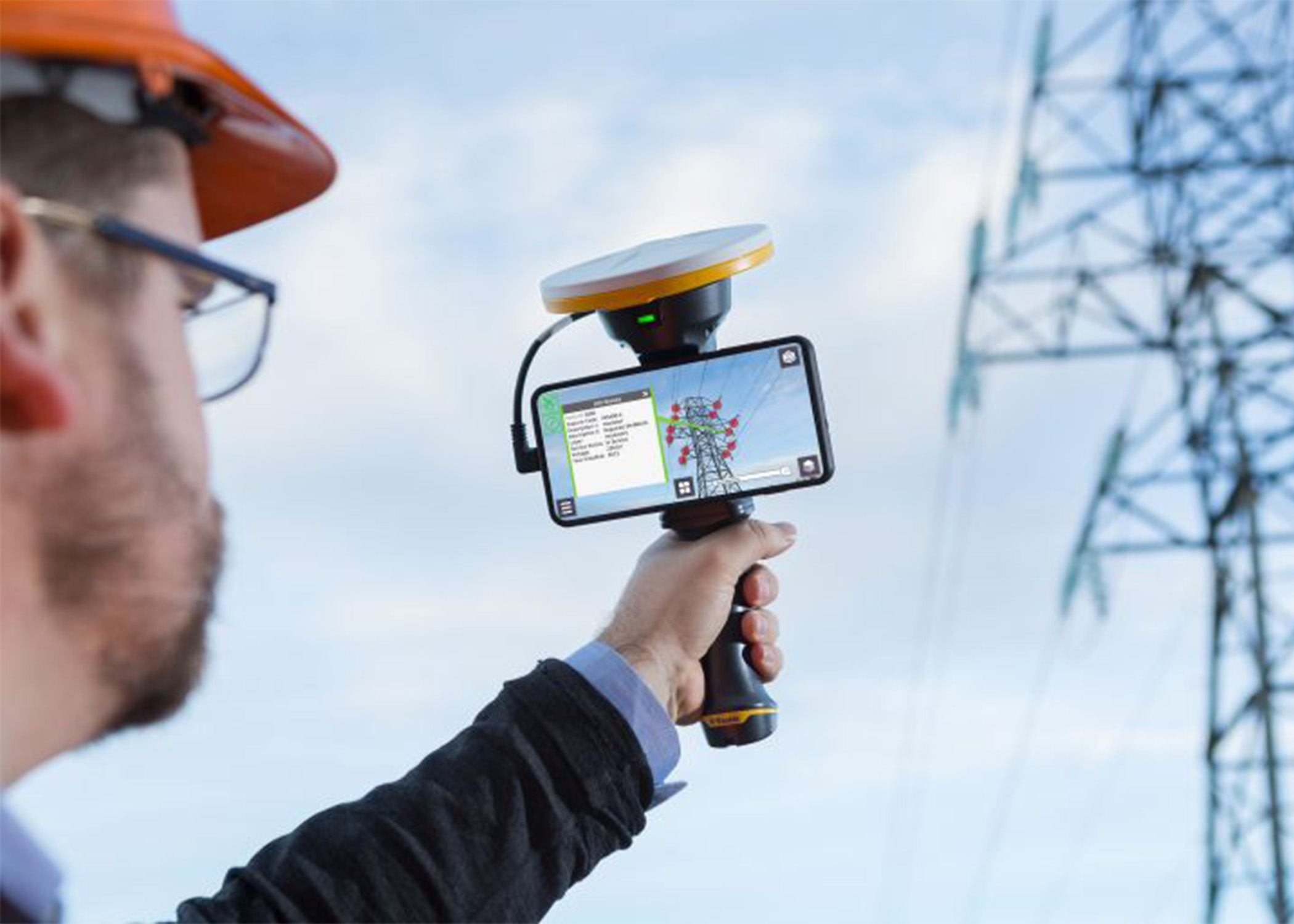
SiteVision integrates augmented reality with Trimble’s high-precision GNSS technology to provide real-time, on-site visualizations of geospatial data. This system enhances understanding of spatial layouts and potential issues in construction, utilities, and urban planning.

Why Use This Equipment?
SiteVision is particularly effective for visual project management and communication, allowing stakeholders to see the finished product in its intended environment, thereby reducing miscommunication and errors during the construction phase.
Compatible Products
- Trimble Catalyst
- Trimble Connect
- SketchUp