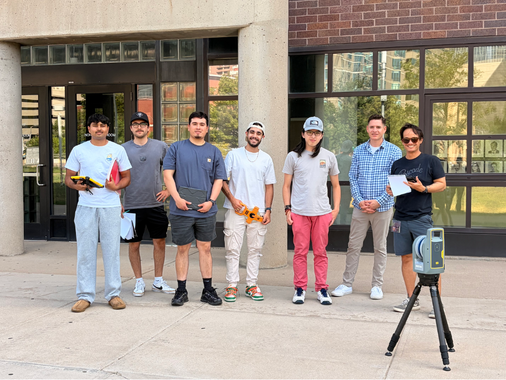
CVEN 2215, Surveying Data Collection and Surveying Lab, gives civil engineering students practical experience collecting, evaluating, and presenting spatial data. As the laboratory companion to CVEN 2214, Surveying for Engineering, the course connects principles such as elevation, orientation, coordinates, measurement error, and adjustment with the field procedures used in engineering and construction. The objective is not simply to teach students how to operate equipment, but to help them understand how measurements are produced, how their quality is evaluated, and how survey data support real engineering decisions.
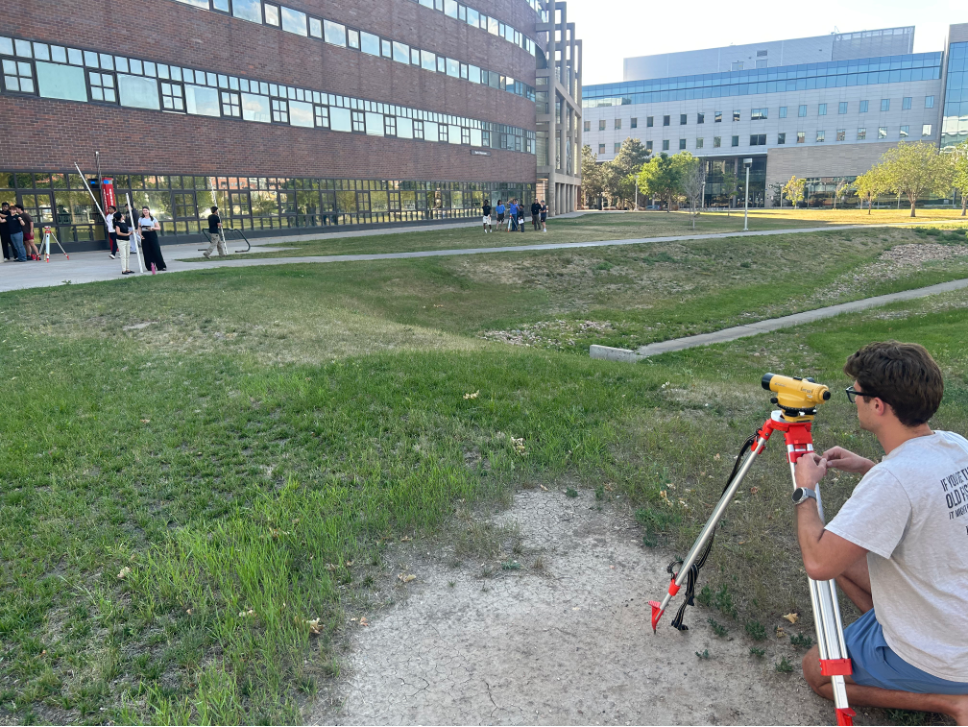
Students begin with foundational surveying methods using automatic and digital levels and conventional total stations. These exercises introduce the importance of instrument setup, control, orientation, field notes, calculations, and measurement checks. During a level-loop exercise, students collect backsight and foresight observations, calculate elevations, close their survey on a known benchmark, and evaluate and adjust the resulting misclosure. The process makes it clear how small differences in field observations accumulate and why measurements must be checked rather than accepted without verification.
The same principles carry into total-station work, where students establish an instrument position, orient from known control, collect angular and distance measurements, calculate coordinates, and compare the results with recognizable site features. Beginning with these direct measurement and calculation methods gives students a basis for understanding what newer equipment automates and what responsibilities still remain with the person operating it.
From Field Measurements to Connected Project Control
From this foundation, the course follows a progression much like the broader development of construction surveying: moving toward digitized, automated, and increasingly connected systems for measurement, layout, documentation, and project control.
The Trimble S5 robotic total station is an important part of that progression. Although the compressed summer schedule did not allow time for the S5 workflow, it has been used in previous semesters with Trimble Access. Students are introduced not only to robotic measurement, but also to the larger process surrounding the instrument.
A modern survey project begins before the field crew arrives on site. Project information can be organized through Trimble Connect and brought into Trimble Access, where students review job settings, coordinate systems, units, survey styles, control points, and the information needed for fieldwork. At the site, those digital settings must be connected to physical project control. Students occupy or establish a known point, orient the instrument using a backsight, verify the setup, and collect or lay out points within the project coordinate system.
Working through this process shows how office planning, field measurements, and construction control fit together. Coordinate systems and control networks can be described in lecture, but completing a project and instrument setup demonstrates why an incorrect setting, unreliable control point, or poor backsight can affect everything collected afterward. Students can learn the rules for instrument setup, control, and data quality in lecture. Working directly with the equipment allows them to see why those rules exist, how field conditions affect the results, and when a measurement should be questioned or repeated.
Investigating GNSS Performance in the Field
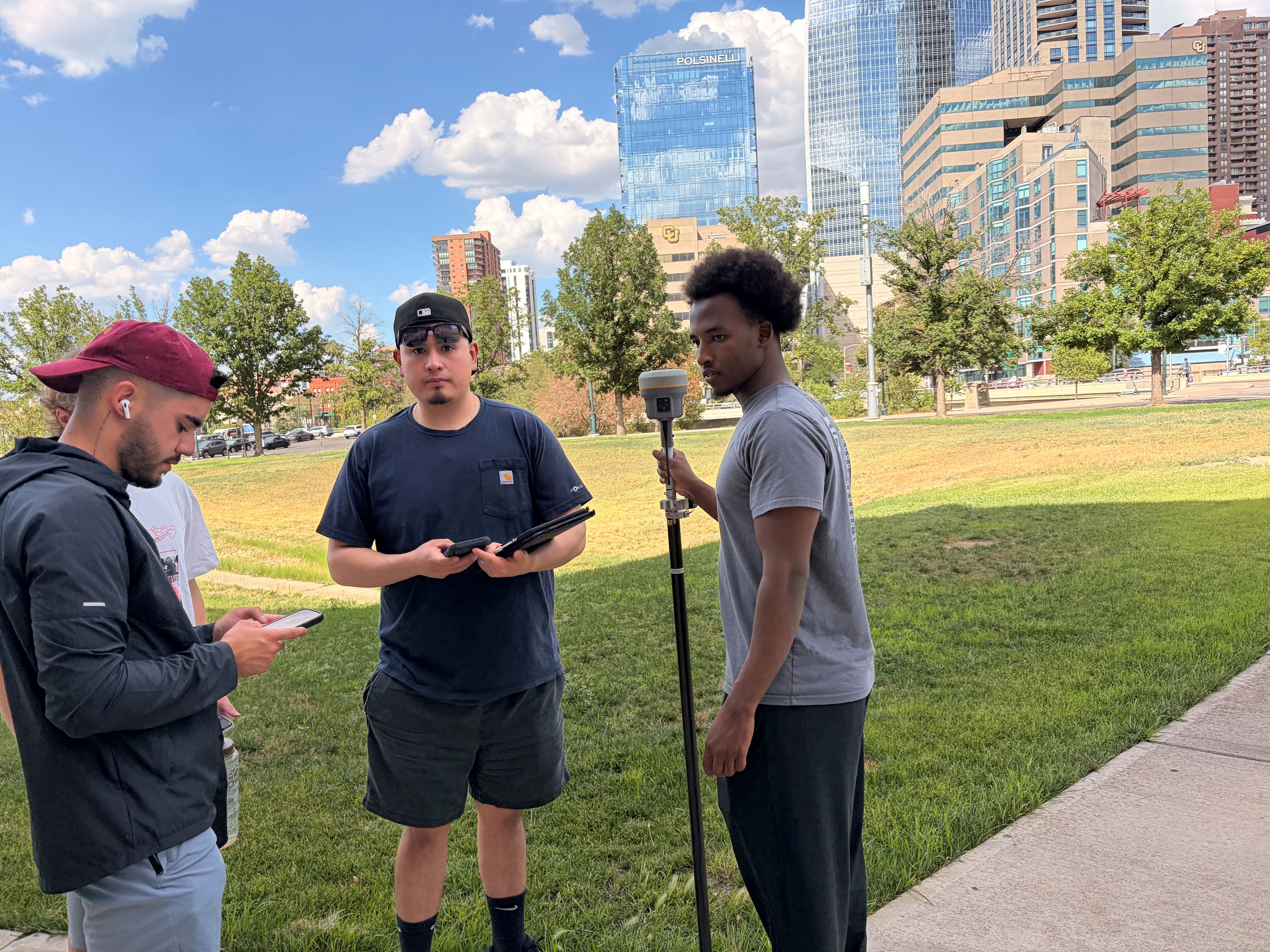
The course then expands from individual measurements into GNSS mapping. Using the Trimble R12 receiver, Trimble Mobile Manager, and QField, students collect and map building corners, entrances, sidewalks, structures, and other features that would be useful in a site survey. They must decide which observations meaningfully describe the site rather than simply collecting a group of unrelated coordinates.
Students are tasked with investigating and reporting how surrounding conditions influence GNSS performance. Observations are collected in open areas, beside buildings, beneath vegetation, and near other obstructions. Students compare reported accuracy and satellite information, repeat selected observations, and explain why the results vary between locations.
This interpretation is central to the exercise. Practices such as maintaining a clear view of the sky, keeping the survey pole upright, allowing a solution to stabilize, and repeating important observations can be explained in the classroom. Seeing the displayed solution respond to buildings, vegetation, and changing field conditions makes the purpose of those practices more apparent. Students learn to connect the information reported by the receiver with the physical conditions surrounding each observation rather than treating every coordinate as equally reliable.

From Individual Points to Three-Dimensional Scenes
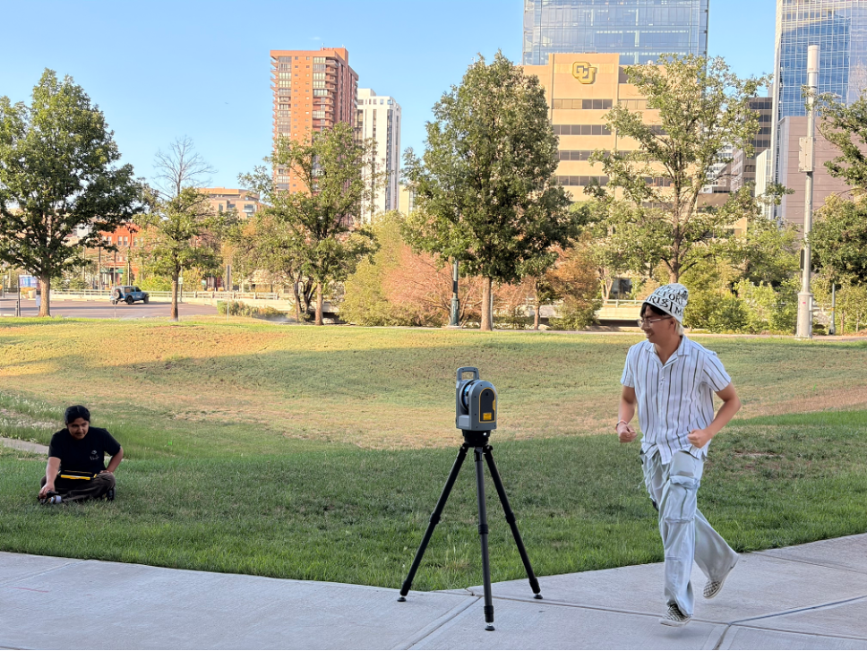
The Trimble X9 terrestrial laser scanner expands the scale of data collection further. Instead of observing selected points, students capture entire indoor and outdoor environments as three-dimensional point clouds and explore the results through Trimble Perspective.
The laboratory is structured as an investigation rather than a demonstration. Students compare scan durations, examine how detail changes with distance, and evaluate how buildings, pavement, glass, reflective surfaces, vegetation, and other features appear in the point cloud. Measurements made within the point cloud are compared with conventional tape measurements, connecting the newer technology back to a familiar method of verification.
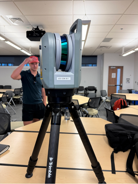
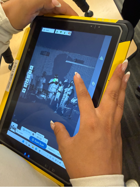
Students also introduce moving people and objects into the scene and observe the gaps, streaks, duplicated objects, and other artifacts that may result. They are then asked to explain what they observed and consider when terrestrial laser scanning would be useful and when a conventional method may still be more appropriate.
Longer scans may produce denser results, but additional data do not automatically make every feature complete or reliable. Distance, movement, surface characteristics, and the intended use of the final product all influence whether a scan is suitable. Direct interaction with the scanner makes these limitations visible and gives students experience interpreting a dataset rather than simply being impressed by the visualization.
Preparing Students to Use and Evaluate Modern Survey Data
This hands-on experience is valuable even for students who do not plan to become professional surveyors. As engineers, construction managers, inspectors, and designers, they will rely on control points, layout information, as-built records, GIS data, and three-dimensional site models. Using the equipment helps them understand how those products were created, what conditions may have affected them, and what questions should be asked before the data are used for design or construction.
The progression from level loops to connected projects, robotic total stations, GNSS mapping, and terrestrial laser scanning gives students more than exposure to modern equipment. It allows them to experience why the underlying principles of control, measurement, verification, and professional judgment remain essential within increasingly automated construction workflows.
A valuable future addition would be the Trimble SX12 scanning total station. By combining robotic total-station measurement and three-dimensional scanning, it would create a direct connection between the S5 and X9 portions of the course. Students could collect discrete control or layout points and dense point-cloud data from the same setup, then compare which approach is most appropriate for different engineering applications.